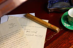
Auctions
All our upcoming catalogues can be viewed here.
Our Special sales and weekly Antiques & Interiors auction now facilitate live bidding via TW Bid at a cost of 3%(+VAT).
You can leave absentee bids in the same way you always have free of charge using the absentee bid option. For information on what to do please see our quick guide
All our sales have a Buyer's Premium of 20% (+VAT)
Our Special Sale organisers are always available to talk to you about the next sale. We hold approximately 5 Architectural, 5 Jewellery, 5 Toys, 4 Special Antiques, 4 Books, 4 Bygones, 3 Modern Design, 3 Gallery, 3 Sound & Vision, 3 Vintage Fashion, 2 Clocks & Watches, 2 Automobilia, Railwayana, Beswick, Wines & Spirits Photographica and Christmas Gifts Sales throughout each year
Antiques & Interiors
Location: The Wensum Room
Date: 26th April 2024
Starts: 10:00 am
Online deadline: 26th April 2024, 9:00 am
Contact: Harry Plowman
View catalogue
Plants & Deadstock Meadow
Location: The Sale Meadow
Date: 26th April 2024
Starts: 10:00 am
Online deadline: 26th April 2024, 9:00 am
Contact: Andre Ling
View catalogue
Forthcoming Catalogues
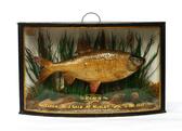
The Blyth Barn Sale
Date: 30th April 2024
Starts: 10:00 am
Contact: Lawrence Baynes

The Gallery Sale
Date: 9th May 2024
Starts: 10:00 am
Contact: James Bassam
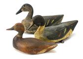
Rural Bygones
Date: 14th May 2024
Starts: 10:00 am
Contact: Rob Kinsella

Clocks & Watches
Date: 16th May 2024
Starts: 10:00 am
Contact: Aiden Morgan-Sparkes

Books & Ephemera
Date: 23rd May 2024
Starts: 10:00 am
Contact: Robert Henshilwood

The Special Antiques Sale
Date: 30th May 2024
Starts: 10:00 am
Contact: Lisa West

Architectural
Date: 6th June 2024
Starts: 10:00 am
Contact: Rob Kinsella
Toys
Date: 11th June 2024
Starts: 10:00 am
Contact: Rupert Willows

Beswick
Date: 14th June 2024
Starts: 10:00 am
Contact: Lesley Smith

Jewellery
Date: 18th June 2024
Starts: 10:00 am
Contact: Lisa West
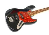
Musical Instruments
Date: 20th June 2024
Starts: 10:00 am
Contact: Edward Taxil-Webber
